Willow City Loop
13 minear Fredericksburg
The classic spring bluebonnet drive through ranch country. Private land along a public road — stay on the pavement.
Best Spring
Maps & drives
The Hill Country reveals itself slowly, between towns. These are the drives worth taking the long way for.
The lay of the land
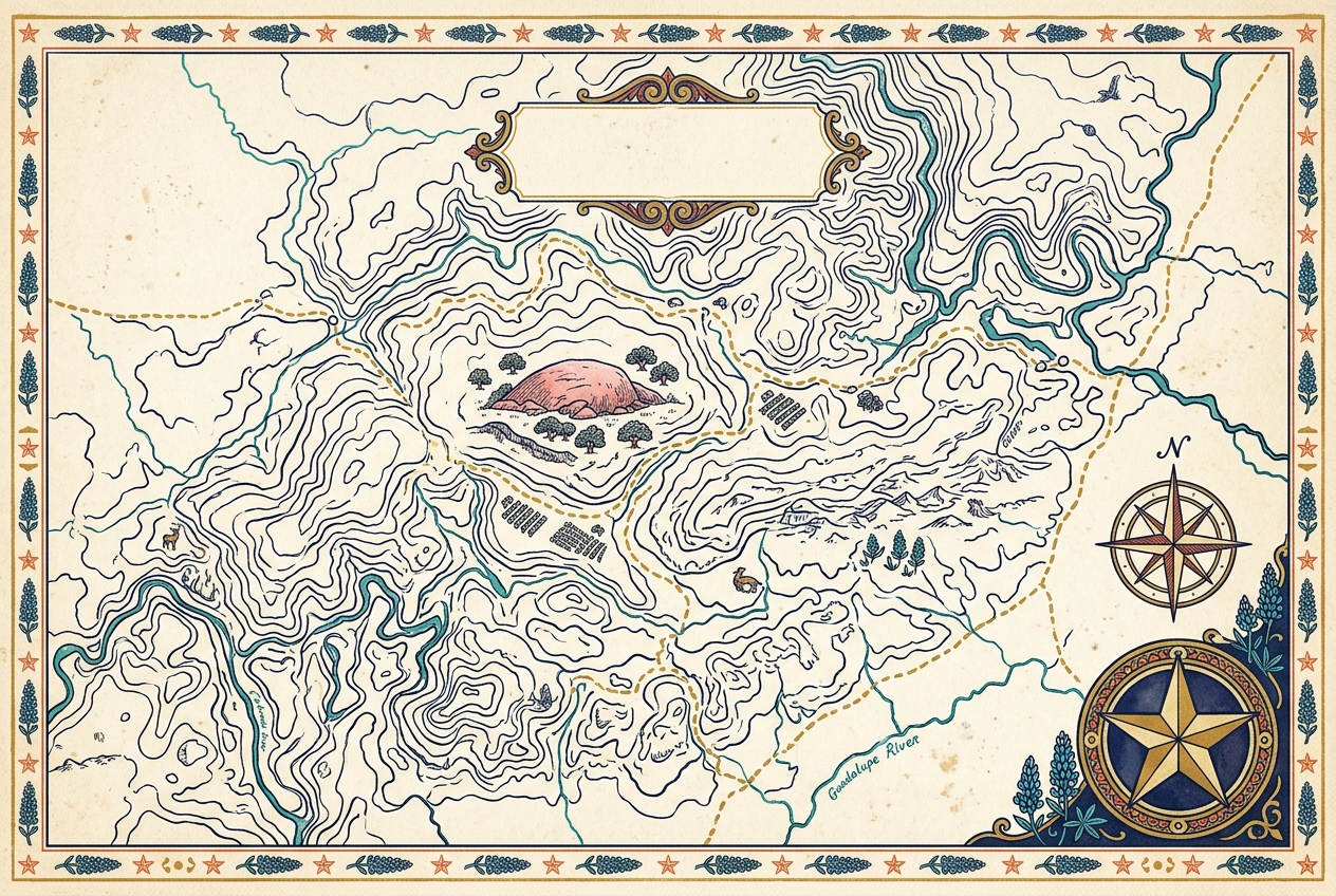
West of Austin and north of San Antonio, the Hill Country fans out across the Edwards Plateau in a web of ranch roads, river crossings, and farm-to-market highways. There's no wrong way through it — but a few drives are special.
An interactive trip map is on the way. For now, string these drives together with our ready-made itineraries.
Scenic drives
near Fredericksburg
The classic spring bluebonnet drive through ranch country. Private land along a public road — stay on the pavement.
Best Spring
RM 32, Wimberley–Blanco
A ridgeline drive along a limestone spine with long views over the canyons. Pull-offs and a famous roadside tavern.
Best Year-round
Guadalupe River, New Braunfels
A winding river-hugging road past tube outfitters, cypress, and low-water crossings. A summer institution.
Best Summer
central Hill Country
Granite-country two-lane through Fredericksburg and on into the oldest exposed rock in Texas.
Best Spring / Fall
Fredericksburg–Johnson City
Tasting rooms strung along the highway and its side roads — the spine of Texas wine country.
Best Year-round
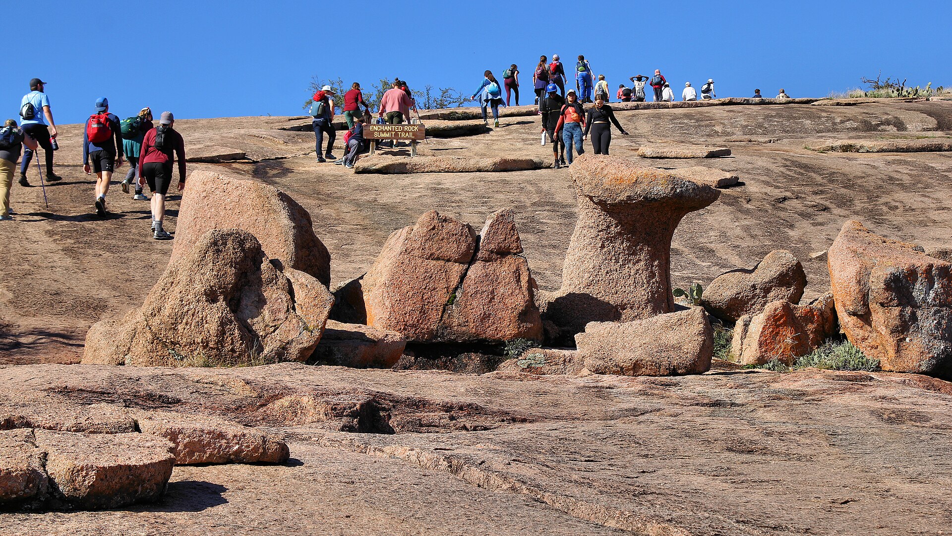
Fredericksburg–Enchanted Rock
Straight out to the great pink dome, past wildflowers and ranchland. Short, scenic, and worth it.
Best Spring
Don't be a stranger —
Seasonal trip ideas, wildflower reports, festival picks, and the swimming holes worth the drive — about twice a month. No spam, just back roads.
★ You're on the list. Check your inbox to confirm.
Something went wrong on our end — email hello@txhillcountrytravel.com and we'll add you by hand.
Not ready to subscribe? See what's on this season →